About
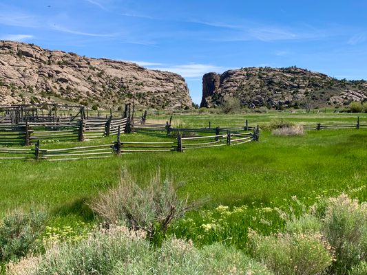
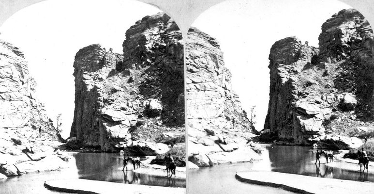
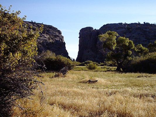
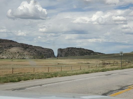
The Devil’s Gate is a rock formation located in Natrona County. Crafted by the Sweetwater River, the limestone formation is a narrow passage stretching 1,500 feet from end to end
As a noticeable feature of the frontier, Devil’s Gate served as a landmark for fur traders and the westward emigrant trails of the 1800s. The Oregon, Mormon, and California Trails all came through the area. Although the canyon was too narrow for most wagons to pass through, pioneers would often stop near the site on their travels to gather water for their livestock. They would sometimes carve their names into the rocks around the site. Charles E. Boyle, who traveled along the trail in 1849 wrote, “The chasm is one of the wonders of the world.”
The Devil’s Gate might’ve earned its name because it's believed to be the site of several murders, giving it a bedeviled reputation. However, according to New Orleans reporter Matthew Field in 1843, the name derives from legends of a savage beast that prevented local Native Americans from hunting in the area. When a brave warrior decided to hunt the beast, the monster became enraged and tore a cleft in the rock with its tusks and escaped.
As the trails became more traveled, a trading post was established nearby. Mixed French-Canadian and Native American families supplied travelers with much-needed equipment to complete their journey. As time went on, wagons and horses gave way to cars, trains, and planes. Eventually, the trails were rendered obsolete.
The land was purchased by a ranch and was later sold to The Church of Jesus Christ of Latter-day Saints. A public center was opened on the property to educate others on the former travelers and the passage. Although Devil’s Gate might not be as important to navigation as it once was, it's interesting to see a site that once acted as a significant landmark for the frontier.
Related Tags
Know Before You Go
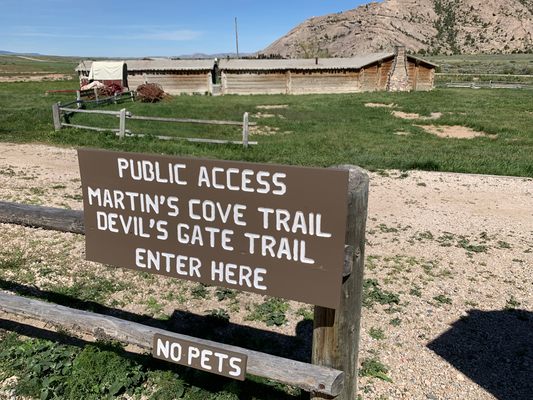
Devil’s Gate is reachable by hiking trails from the Mormon Handcart Historical Center at the Sun Ranch and from the Wyoming Highway 220, around 60 miles from Casper and 12 miles northeast of Muddy Gap. The site is located on public land.
Community Contributors
Added By
Published
December 29, 2020

